
Looking Up Fountain Neighbors
A block lookup is a parcel exercise first. Define the target address, find its polygon, and then inspect the parcels that share a boundary or street face. The sources below describe different parts of that block. An owner is not automatically an occupant, a permit party is not automatically an owner, and an old directory entry belongs to its year. Those limits make the neighbor workflow more useful, not less.
| Source | What it shows about a block | Access |
|---|---|---|
| County parcel GIS | Polygons, adjacency, parcel IDs, geometry, map layers | Free ArcGIS map and service |
| Assessor parcel record | Owner, mailing and situs address, legal description, values | Free public property portal |
| Recorder plat or deed | Recorded parties, lot, block, easement, subdivision, dates | Free index; identified copies cost extra |
| PPRBD permit map | Address, parcel, project, status, valuation, district filters | Free public search and map |
| Voter data | Public categories subject to request and confidentiality rules | Individual or statutory data route |
| City GIS and Planning | Neighborhoods, wards, zoning, utilities, fire and safety layers | Public map; disclaimer applies |
| Library street guides | Past household or occupant leads by year | PPLD digital, microfilm, or staff help |
A result is strongest when it carries a parcel, date, legal description, or page number. A block is not defined by a ZIP code alone, and a shared street name does not prove that two addresses touch. Use the map to define the geography, then use the record source that answers the specific question.
Fountain Neighbor GIS Adjacent Parcels
The county Parcel MapServer and FeatureServer expose the geometry needed to find Fountain neighbors by parcel adjacency. Open the El Paso County parcel service, locate the street segment, identify the target polygon, and record its PARCEL value. Then inspect each polygon that touches the boundary or shares the street edge. The service supports query, identify, find, export, statistics, ordering, and pagination, with a maximum record count of 2,000.
Use city-limit, neighborhood, ward, zoning, utility, tax, public-safety, and fire-district layers as context. The Fountain city map warns that its data may be incomplete or inaccurate, so a boundary or legal-land question belongs with the recorded plat, annexation order, or responsible office. Map geometry can show adjacency; it cannot create a complete resident list.
See the county parcel GIS source for the map and service context.
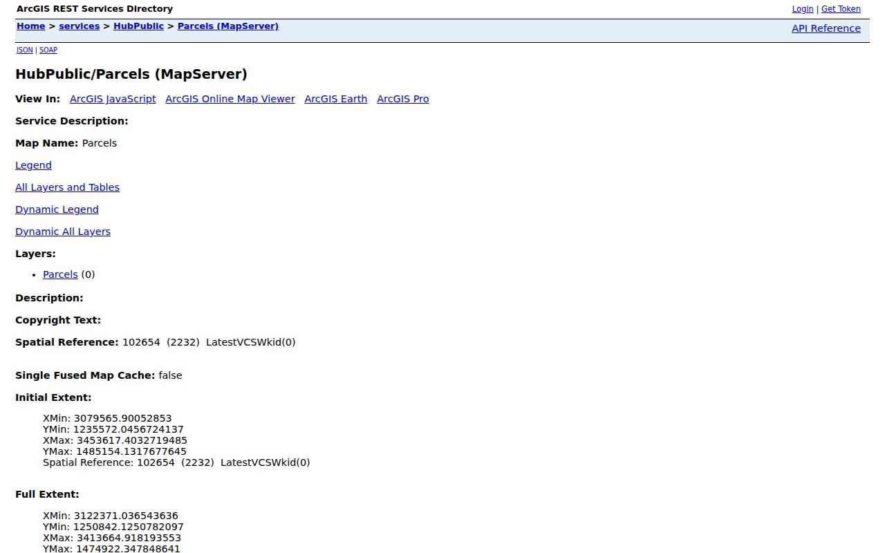
Use a map capture to confirm the target parcel and at least two adjacent polygons, then carry each parcel ID to the Assessor rather than reading names from map geometry.
Address → target parcel → adjacent polygons → Assessor legal descriptions → Recorder plats or deeds → permits and district layers
Note: GIS adjacency identifies land relationships, not a complete list of people who live on the surrounding parcels.
Fountain Neighbor Assessor Cards
After GIS defines the block, use the El Paso County Assessor Property Search for each parcel. Save the owner or mailing name, situs address, parcel or account number, legal description, tax district, values, characteristics, and any displayed sales or assessment history. The mailing address can sit outside the parcel, so it should remain a clue rather than a claim about who lives nearby.
Compare legal descriptions before comparing names. A corner parcel may have two street faces, an easement may cross a boundary, and a split parcel may return more than one plausible address. A value, exemption, or owner field is a tax-roll fact. It does not show household members, delivery data, or private association membership.
- Adjacent parcel
- A mapped land polygon that shares a boundary or relevant street relationship with the target parcel.
- Mailing address
- The address used for notices, which may differ from the physical situs.
- Legal description
- Lot, block, plat, or survey language used to identify the land across older records.
- Owner field
- A name connected to the property record, not a complete statement about the block's occupants.
Fountain Neighbor Plats and Easements
Recorded plats can explain why a block looks different from a simple row of house numbers. They show lot and block lines, subdivision names, streets, alleys, easements, and rights of way. A deed can add the parties and date. When a corner parcel fronts two streets or an older address no longer matches the map, use the plat and legal description before deciding which parcel is the neighbor.
Fountain's address history adds another complication. PPLD documents street-name changes in the 1870s through 1917 and a change in odd-even number orientation. Historical street guides, Sanborn maps, and directory pages may need to be compared with the modern plat. A missing old household is often a naming or coverage gap, not proof that the block was empty.
Keep the map's layer date and source beside the result. County GIS is a public geometry service, while a recorded plat is the formal land record. Both can matter, but they answer different questions.
Fountain Neighbor Permits Across the Block
Pikes Peak Regional Building Department adds a project layer to the Fountain neighbors search. Its address form accepts low and high numbers, direction, street name and type, parcel number, latitude and longitude, and a choice among permits, plans, archived permit cards, or floodplain records. Its map filters include ZIP code, jurisdiction, project, valuation, total area, fire, water, sanitation, school, commissioner, and city council districts.
A permit result can show PermitNum, full address, parcel, permit date, contractor name, plan type and number, project code and description, department, status, valuation, unit count, and total area. These fields explain work on or near the block. A named project party is not automatically an owner or a neighbor, and the department serves multiple jurisdictions.
Use the PPRBD address-search page for a defined address, parcel, or project.
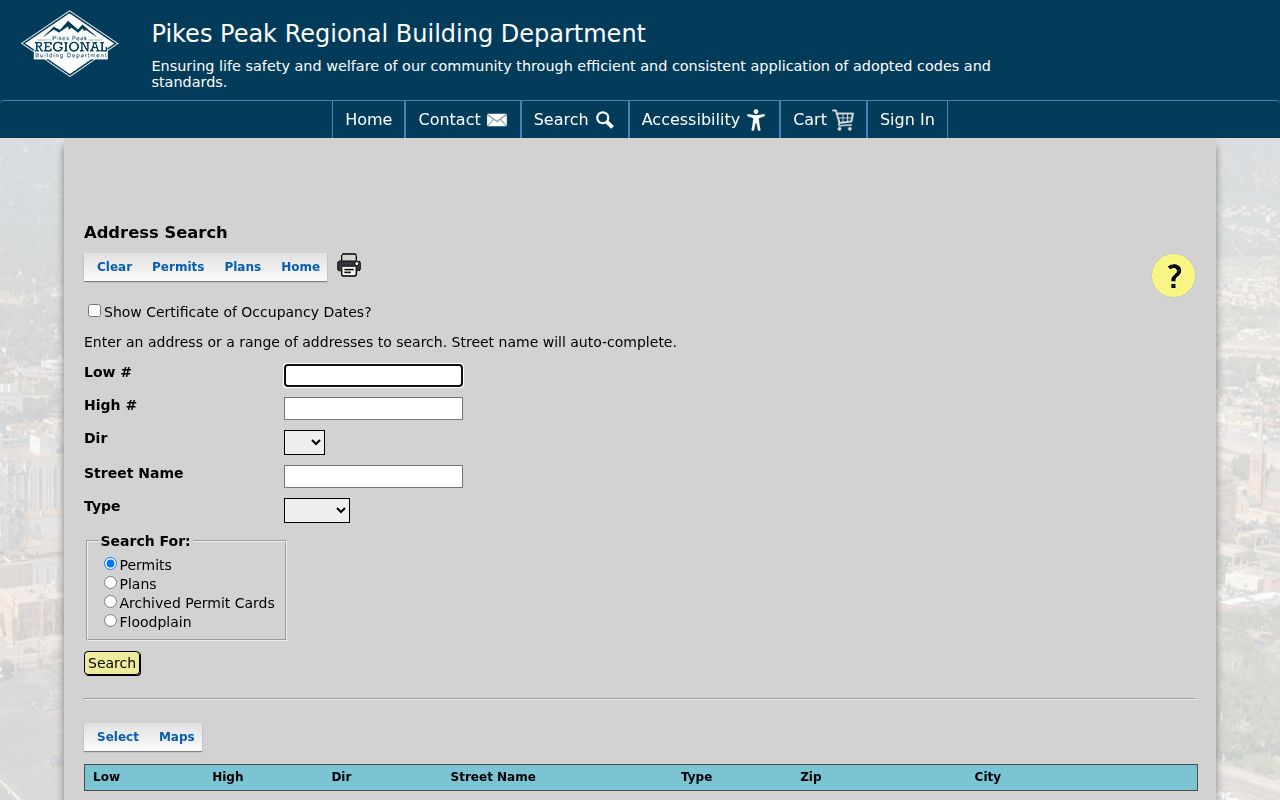
The permit capture shows a block-level project route. Keep the record's status and date with the result because the public archive cutoff was not stated.
Fountain Neighborhood Records, Wards, and Utilities
Fountain's city GIS layers include Neighborhoods, Parcels, City Limits, Zoning and Planning, Public Safety and Fire Districts, Utility Service Areas, and City Wards. A planning asset list reported 77 Neighborhoods and 25,394 Parcels, with historical parcel asset counts for 2013 and 2014. Those are map-layer metadata, not counts of private groups, residents, or households.
Use a neighborhood or ward layer to describe the block's civic geography, not to infer association membership. Utility and fire layers can explain why two nearby parcels route to different public services. If the question concerns an annexation or inclusion line, request the recorded ordinance or plat through the City Clerk or Planning custodian.
The map is useful context for Fountain neighbors, but its disclaimer means that formal land and custody questions should move to the county or city record office.
Fountain Neighbor Association Roster Gap
The research did not locate a current official Fountain-wide neighborhood-association or private-membership roster. That absence is itself useful. The city GIS Neighborhoods layer maps named areas, but it does not certify membership. The City Clerk can receive a narrow request for a named organization, date, agenda, license, or public record. PPLD and the Colorado Springs Pioneers Museum may hold historical newsletters, photos, organization records, or community papers.
| Community resource | What was located | Contact or route |
|---|---|---|
| Fountain GIS Neighborhoods layer | Map areas and city planning context, not private membership | City GIS and map disclaimer |
| Fountain City Clerk | No published association list; specified city records can be requested | City Hall, 719-322-2000, CORA route |
| PPLD Regional History and Genealogy | Historical directories, newspapers, organizations, maps, yearbooks | 719-531-6333 x7252; RegionalHistoryGenealogy@ppld.org |
| Starsmore Center | Regional manuscripts, photos, maps, and organization collections | Appointment research; 719-385-5650 |
| Umbrella association directory | Not located in official sources inspected | Verify a current named organization before linking |
Do not turn a map label, a business district, or an organization address into a list of private households. A named association's own public page or a defined City Clerk record is the proper next step when one is known.
Note: The absence of an official roster is a research limit, not evidence that no neighborhood group or private association exists.
Fountain Historical Neighbors in Street Guides
PPLD's city directories and telephone books can show who appeared near an address in a particular year. Search the street guide first when the name is unknown, then compare the alphabetical entry. The 1879–1929 digitized Polk run, rural issues, telephone books, NewsFinder, Sanborn maps, and yearbooks each cover a different slice. Historical geography may use Colorado Springs, Colorado City, Manitou Springs, or rural El Paso labels.
Street names and odd-even numbering changed before 1917. Preserve the original street, number, year, page, and publisher before translating it to a modern parcel. A historical neighbor is a dated directory or newspaper clue, not a current address confirmation. For the full named-street chain, the Fountain street directory page owns the wider address workflow.
When a surname is common, pair the street-guide entry with a parcel, obituary, church, census, or deed clue. When the page is missing, ask the library about a gap rather than filling it with a likely household.
Fountain Neighbor Tools and Official Rolls
Commercial neighbor tools can combine property, marketing, court, voter, business, and historical feeds into one report. The convenience is not the same as accuracy. Official sources have narrower fields, but they identify the custodian, access rule, date, and route for correction or a certified copy. A block lookup should use the official category that answers the actual question.
| County GIS and Assessor | Parcel geometry, land record, owner or mailing clue; not a complete household roster. |
|---|---|
| Recorder and plats | Recorded parties and formal land descriptions; no staff title search and no occupancy proof. |
| City layers and permits | Neighborhood, ward, utility, project, and district context; not private association membership. |
| Commercial category | Aggregated lead that may be stale, duplicated, costly, or unclear about its underlying source. |
| Best practice | Use an official record to test a lead and preserve its date, field, and limitation. |
Privacy Limits for Fountain Neighbors
A block search cannot reveal every household member, delivery record, utility customer, DMV record, protected voter, restricted vital record, or private association member. Colorado's Address Confidentiality Program can provide a substitute address for qualifying survivors, and El Paso confidential voters can be removed from future ordinary public lists through the county process. Prior lists may not be erased retroactively.
Colorado's DPPA rules restrict another person's motor-vehicle data. C.R.S. 18-3-602 addresses stalking, and C.R.S. 18-9-111 addresses harassment. A public owner, map, permit, or directory clue must be used for a defined family, civic, house-history, reconnection, or personal-safety question. If a record is protected or absent, stop.
Lawful use. Fountain neighbor research is for understanding a block and its public records. Do not use it to watch, harass, intimidate, threaten, or harm anyone.
Note: A missing neighbor result can reflect a confidentiality program, a data gap, a moved record, or a source that never listed household members.