
Trace a Fountain Street by Address
An address-first search moves from a fixed place to records with narrower meanings. The number and street first point to an Assessor result. The parcel then points to a polygon, legal description, deed, plat, permit, and district. Historical street guides add household names for a stated year. The voter system is different: it can help a person check their own registration, but its public form is not a street-wide list. The goal is a chain of evidence, not a single name pulled from a broad search.
- Enter the street number and name in the El Paso County Assessor Property Search. Save the exact situs address, owner or mailing name, parcel or schedule number, and legal description.
- Open the county parcel map and identify the target polygon and nearby parcels. Record the PARCEL value and note city-limit, neighborhood, ward, zoning, utility, and fire-district layers.
- Use the parcel and legal description to find an identified deed, plat, or other instrument in the Recorder index. Read the grantor, grantee, date, reception number, document type, and land description.
- Use PPRBD's address or parcel search for permits, plans, archived cards, floodplain records, project status, and named project parties.
- For a past household, turn to Pikes Peak Library District's street guides, city directories, rural runs, telephone books, maps, and newspaper index.
The first result may be enough to orient the search, but it is rarely enough to call someone a current resident. A parcel owner may receive notices at a different address. A permit party may be a contractor or earlier owner. A historical directory entry belongs to its publication year. Keep those distinctions in the notes.
Fountain Assessor Fields for Street Search
The Assessor owns the key address-to-parcel step in the Fountain address workflow. County guidance says the property records are public and an unnecessary CORA request can be slower and more costly than using the portal. Search an owner name when the person is known, or search a street address when the place is known. Compare the returned situs with the mailing address before transferring a result to a deed or court source.
The live Spatialest page is dynamic, and exact required flags were not exposed in the research text. The table records the fields described or expected from the county material without pretending that a missing label was verified. A result selection matters: nearby street numbers, similar street names, and multiple parcels can all look plausible until the legal description is checked.
| Field or control | Type | Required | Fountain use |
|---|---|---|---|
| Owner name | Text | Live page gap | Move from a person to possible parcels |
| Street number | Text | Live page gap | Start an address search |
| Street name, type, direction | Text or dropdown | Live page gap | Normalize the street before comparing records |
| Parcel or account | Text | Live page gap | Return to one exact parcel |
| Legal description | Text | Live page gap | Bridge lot, block, plat, or survey language |
| ZIP or city filter | Text or dropdown | Not exposed | Do not assume it follows Fountain city limits |
| Search or reset | Button | Live page gap | Confirm from the current screen |
The El Paso County property search capture shows the portal used for this address-first method.
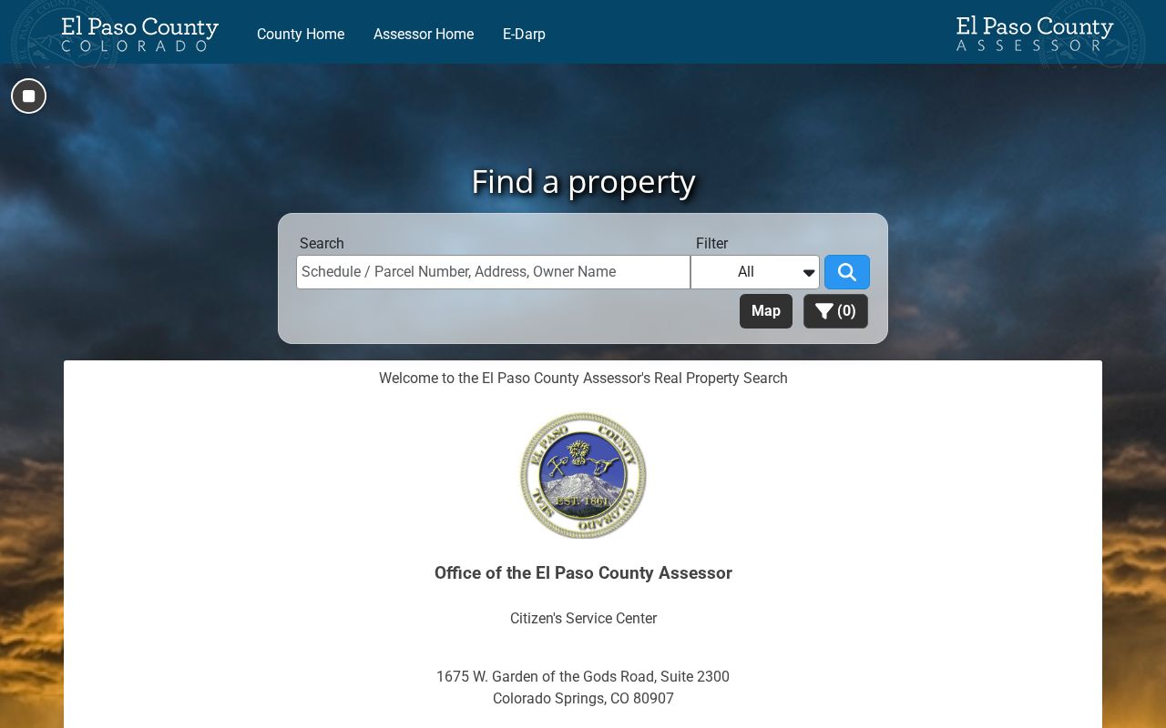
Check the live page for current labels, then preserve the parcel number and legal description before moving to another keeper.
- Situs address
- The physical location of the parcel, which may differ from where tax mail is sent.
- Mailing address
- The destination for notices; it can belong to a different place or person than the parcel.
- Parcel
- A county-mapped land unit with an identifier used to connect the Assessor, GIS, Recorder, and permit systems.
- Plat
- A recorded map that lays out lots, blocks, streets, easements, and rights of way.
Fountain Parcel GIS for Street Records
The El Paso County parcel MapServer and its related FeatureServer turn the address chain into a map task. Locate the street segment, click the target polygon, and record the parcel value. Then click adjacent polygons rather than assuming that a shared street name means shared ownership. Corner parcels can face two streets. Alleys, easements, split lots, and rights of way can make a simple number sequence misleading.
The parcel layer supports geometry, query, statistics, ordering, pagination, identify, find, and export behavior. The public service lists a maximum record count of 2,000. The city GIS adds Neighborhoods, City Limits, Zoning and Planning, Wards, Utilities, and Public Safety and Fire Districts. The city map carries an incomplete-data disclaimer, so legal land and boundary questions belong with recorded plats and the appropriate custodian.
For a street-level visual, use the county parcel GIS source.
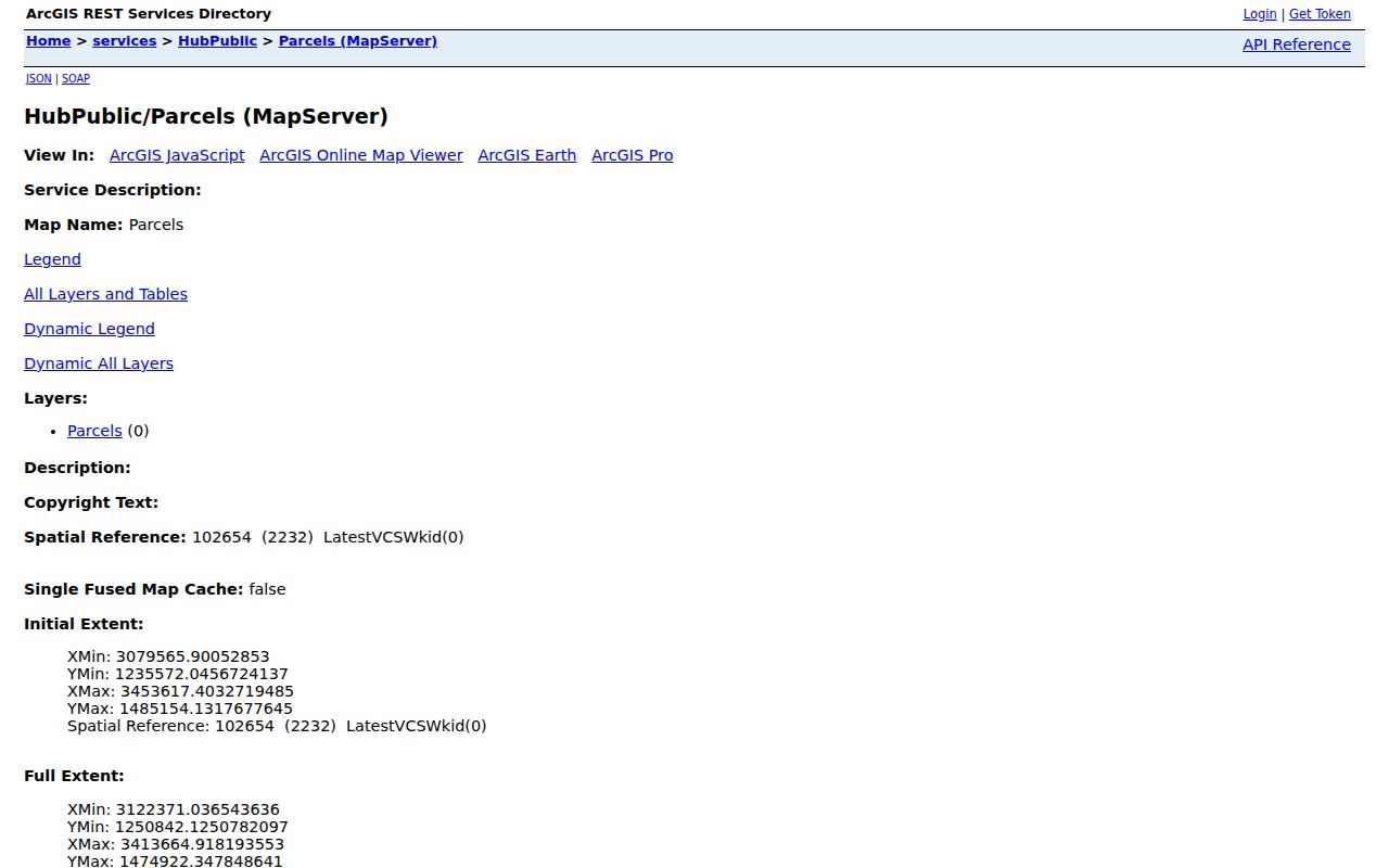
A map helps define which parcels touch a street. It does not display a complete list of household members, and a polygon alone is not a current residence record.
- PARCEL
- The parcel display field in the county layer, used to carry one polygon to another portal.
- Geometry
- The polygon shape that shows adjacency, street frontage, split areas, and shared boundaries.
- Identify or query
- A map or service action that returns exposed parcel attributes without creating an unofficial household list.
- Layer context
- City limits, neighborhoods, wards, zoning, utility, tax, and safety layers that add geography to the address.
Fountain Address Records in One Chain
Each address-keyed source answers a different question. The coverage table below is the core of a Fountain street directory because it keeps current land, recorded parties, permits, voter data, city layers, and historical occupants from being blended into one claim.
| Record set | Keeper | Address evidence | Public route |
|---|---|---|---|
| Assessor parcel card | El Paso Assessor | Owner, mailing and situs, parcel, legal description, values | Free public portal |
| Parcel geometry | County GIS | Adjacent polygons, parcel ID, map and district layers | ArcGIS map/service |
| Deed or plat | Clerk and Recorder | Grantor, grantee, recording date, land description, lots and blocks | Free index; paid copies |
| Permit or plan | PPRBD | Address, parcel, project, date, status, valuation and plan details | Free search and map |
| Voter data | SOS and county Elections | Public categories subject to a request and confidentiality rules | Individual form or data route |
| Code or zoning file | Fountain city offices | Notice, abatement, zoning, neighborhood or date trail | Clerk/CORA request |
| Historical street guide | PPLD | Year-specific occupant, address, phone marker or cross-reference | Digital, microfilm, staff help |
The parcel number is the strongest bridge in the current chain. A street name is a helpful label, but it can change. The Recorder's legal description is better than a loose name match, and PPRBD's permit address is evidence of a project, not a household. When the question shifts from an entire street to one person, the Fountain resident lookup workflow uses a different set of identity checks.
Note: The El Paso Recorder will provide an identified document but does not perform a title search for the requester.
Fountain Deeds Along a Street
Start with the current parcel, not with a broad surname list. The Recorder's published records include deeds, deeds of trust, assignments and releases, liens, powers of attorney, notices, and subdivision or condominium plats. An identified instrument can add a date and a recorded party to the street chain. It can also reveal why a lot, block, easement, or subdivision reference matters more than an old street number.
- Use the Assessor result to save the current owner, parcel, situs, mailing address, and legal description.
- Find the purchase deed in Aumentum Recorder Public Access and read grantor, grantee, reception number, document type, and date.
- Search the earlier grantor as a grantee, keeping the same lot, block, survey, or other land description.
- Separate deeds of trust, releases, liens, and powers of attorney from ownership transfers when charting the sequence.
- When the online index or image does not reach far enough, request a known book, page, reception number, or copy through the Recorder.
El Paso County says pre-1996 copies are available through the Citizens Service Center, but that note does not establish the online index's start year. The county also says it is not required to search real-estate records to locate a document. A good request supplies the party, date, legal description, or reception number already found in the research.
The El Paso County deed-index source shows the public entry point for a defined Fountain street instrument.
The deed-index capture belongs beside the parcel and legal-description work because a recorded party is not automatically a current street resident.
Fountain Permits by Street Address
Pikes Peak Regional Building Department is the main address-keyed permit source for Fountain and nearby jurisdictions. Its public form can search a low and high number, direction, street name and type, parcel number, or latitude and longitude. It can switch among permits, plans, archived permit cards, and floodplain records. The map adds ZIP code, jurisdiction, project, valuation, area, utility district, school district, fire district, and street filters.
| Search input | Record mode | What a result may add |
|---|---|---|
| Low and high street number | Address range | Several parcels or projects along a segment |
| Street name and type | Address | Permit number, full address, parcel, date |
| Parcel number | Exact parcel | Project history tied to the county land unit |
| Latitude and longitude | Map location | Nearby permit or plan records |
| Permits, plans, archived cards, floodplain | Record category | Project, status, description, valuation, plan data |
| ZIP, jurisdiction, districts, date, project | Map filters | Geographic and project context |
The PPRBD address-search capture shows the separate address, parcel, and project routes.
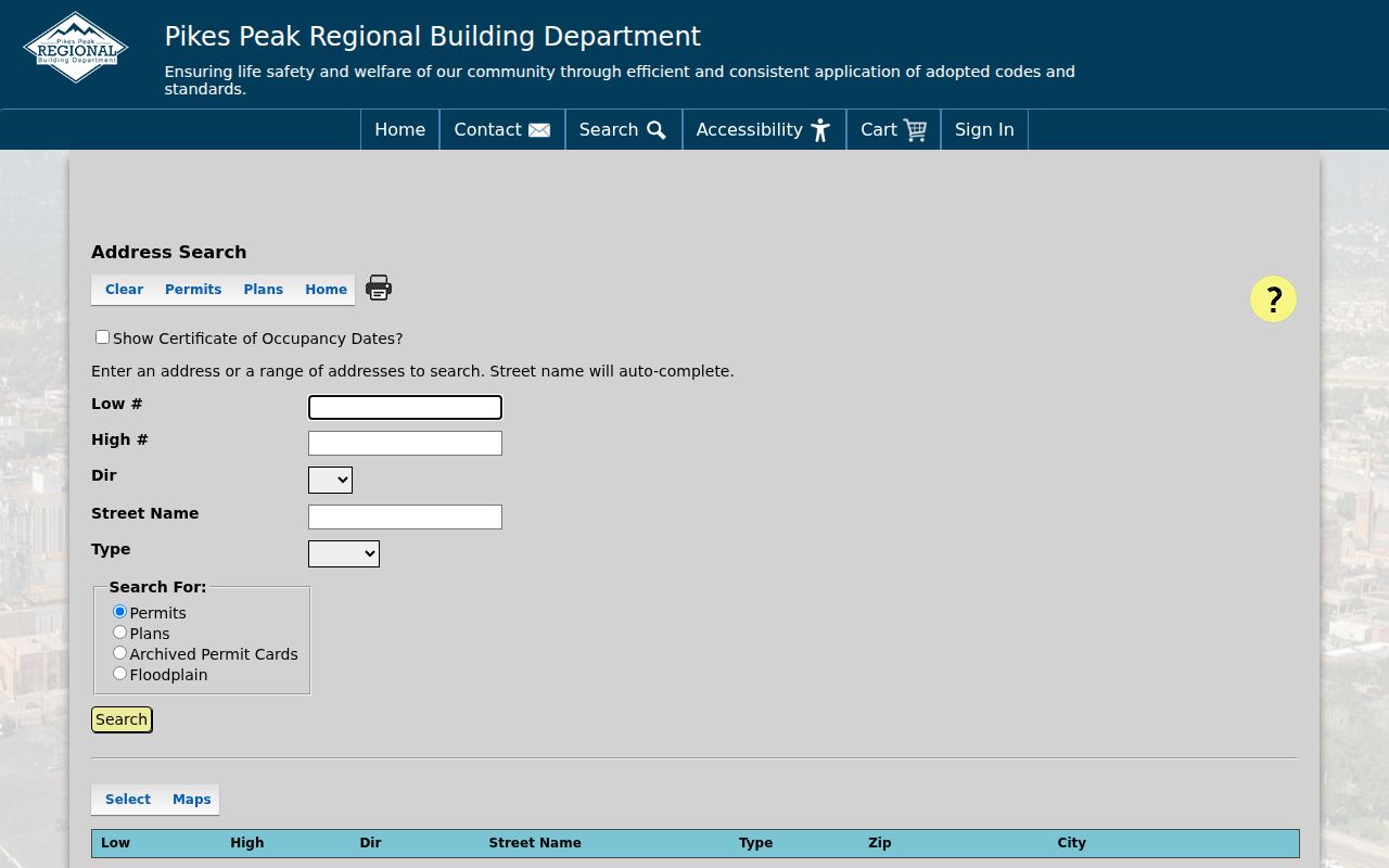
Permit results can date construction or an alteration. A contractor, plan contact, or permit holder should remain labeled as a project party rather than a current resident.
Fountain Voter Records on a Street
The Colorado voter lookup is not the street roster a searcher may expect. It requires first name, last name, ZIP, and full birthday for an individual match. A recent mover can try a prior ZIP, and confidential or under-18 records do not appear. The county and state can supply public voter-file reports through a separate request process, but protected fields remain excluded.
Ordinary voter fields may include name, residential address, party or affiliation date, registration status, birth year, precinct or district, phone if provided, gender identity if provided, and vote history. Full birth date, SSN, ID number, email, and ballot-return signature are private. An address-record page should describe this as a limited identity or data-request route, never as a way to enumerate every person on a block.
When a voter result conflicts with the Assessor, preserve both source dates and meanings. Registration can be inactive, under list maintenance, tied to a prior address, or protected through the county confidential-voter process or Colorado Address Confidentiality Program. Ask Elections about the correct list or map product instead of asking a clerk to disclose a protected address.
Fountain's Renamed Streets and Numbers
The most useful local quirk in an old street directory search is not a portal feature. Pikes Peak Library District documents street-name changes in the 1870s through 1917 and a flip in odd and even address numbers. A modern address search can therefore miss a real historical entry even when the house or parcel is the same. Search the old and new street names, the nearest cross street, the street-guide section, and the legal description.
Fountain-area directories may also appear under Colorado Springs, Colorado City, Manitou Springs, or rural El Paso County depending on the publisher and year. The absence of a Fountain label is a coverage clue, not evidence that an address was empty. Compare the directory's city heading, page, printed number, map, plat, and neighborhood context before treating the name as a match.
That method also helps with ZIP and city-limit confusion. USPS 80817 is verified for the Fountain postal city, but delivery geography can extend beyond the incorporated line. County GIS, recorded annexation plats, city inclusion or exclusion orders, and the parcel's legal description are stronger boundary anchors than a postal label.
Note: Preserve the exact street spelling and number printed in a historical source before translating it into a modern address.
Fountain Reverse Directory Entries
The reverse or criss-cross section is the historical part of a street directory. PPLD's digitized R. L. Polk material includes an alphabetical section and a street guide. The 1915 item can be read for a householder name, house number and street, printed phone or relationship marker, a line in the alphabetical section, and a cross-reference in the street section. Rural directories, telephone books, and later database runs add other years but carry gaps and different geography.
Use the street guide when the name is unknown. Search the number and street, copy the page and exact spelling, then move to the alphabetical entry. Read the issue's own abbreviation key instead of expanding a marker from memory. The result says a publisher placed a person at an address in a year. It does not settle ownership, present occupancy, or the reason for a move.
The historical collection and how to trace a household across directory years are treated in the Fountain city directory collection guide. Keeping the shelf work there lets this street directory stay focused on the address chain and current parcel tools.
Fountain Street ZIP Versus City Limits
ZIP code 80817 is the verified Fountain postal association, with the Fountain Post Office at 101 S. Santa Fe Avenue. USPS can standardize a full address, search a city and state, or return city labels for a ZIP. Its result does not confirm a person or company at that address. The PPRBD map can filter permit records by ZIP, but a permit ZIP may include nearby jurisdictions and is not a household list.
For a current street directory result, compare the USPS return with the Assessor situs, the county parcel polygon, and the city-limit layer. If the address sits near an annexation or tax-entity line, locate the recorded plat, inclusion or exclusion order, or ordinance. The research did not verify adjacent ZIPs as Fountain municipal ZIPs, so they should not be listed as city coverage without a live address crosswalk.
Limits of a Fountain Street Directory
A street directory cannot show every person who shares a parcel. The Assessor lists a recorded owner or tax-roll clue. The Recorder lists parties to instruments. A permit lists a project connection. A historical guide lists a household at a stated date. None of those sources is a complete current occupant roster. Delivery, utility, private association, and protected address information are not open through the street tools described here.
Colorado's Driver's Privacy Protection Act rules restrict another person's motor-vehicle information. The Colorado Address Confidentiality Program and county confidential-voter process protect qualifying participants. Colorado stalking and harassment laws also apply when records are used for repeated unwanted contact, monitoring, threats, or intimidation. A missing result may be a lawful safety boundary.
Lawful use. Use Fountain street and address records for a defined personal, family, house-history, civic, or safety question. Do not use a street directory to stalk, harass, intimidate, or harm any person.
Note: When an important result depends on a same-name match, stop and verify the parcel, date, legal description, or case identifier with the custodian.