
Fountain Previous Residents by Era
The backward trail begins with a set of sources that cover different eras and show different kinds of people. The table is deliberately explicit. “Past residents” can mean an owner, an occupant, a directory householder, an heir, a permit party, or a person named in a newspaper. A reliable house history keeps the source definition beside the name.
| Source | Years it covers | Where held | What it shows |
|---|---|---|---|
| Recorder index and copies | Online start year not located; pre-1996 copies office-only note | Aumentum and Citizens Service Center | Recorded instruments, parties, dates, land descriptions |
| Polk city directories | 1879–1929 digitized; later mixed runs | PPLD Digital and Regional History | Name-to-address and address-to-occupant entries |
| Rural directories | 1937–38, 1947, 1949, 1951, 1955, 1962, 1969, 1972 | PPLD shelves and microfilm | Rural or county household leads |
| Telephone books | Most 1907–present, with gaps | PPLD microfilm | Year-specific name, number, and address clue |
| Building permits | March 1900; gap Apr. 1902–Sep. 1907; county 1954–64 | PPLD finding aid and PPRBD | Construction, alteration, project, and address trail |
| Sanborn maps | Regional earliest around 1883; revisions around 1960 | PPLD originals and digitized comparisons | Footprint, building use, street, lot orientation |
| Census and probate | Federal public schedules by 72-year rule; El Paso groups 1861–1987 ranges | Library, FamilySearch, courts, State Archives | Households, heirs, orders, and estate links |
There is no single continuous owner or household file. The Assessor's historical ownership may reach only a few decades and is unreliable before the mid-1990s. A previous-residents result becomes stronger when a deed, directory page, census date, and physical map all point to the same land.
Start Fountain Previous Residents at the Parcel
Use the El Paso County Assessor Property Search as the modern starting point. Save the owner or mailing name, situs address, parcel or schedule number, legal description, tax district, values, and displayed sales or assessment history. Preserve both addresses because the mailing destination may be outside Fountain or outside the land itself.
Then open the county GIS parcel layer and confirm the polygon, street frontage, neighboring parcels, and boundary layers. A parcel number and legal description are better search keys than a name alone. They let the Recorder, plat, permit, and map records stay tied to the same piece of land while the people named in those records change.
Do not turn a homestead or value field into a claim about occupancy. The property roll is a land and assessment record. It is the anchor for tracing past occupants, not proof that the current owner is the person who lives there.
The El Paso County property-search capture shows the parcel fields that make a backward Fountain address trail precise.
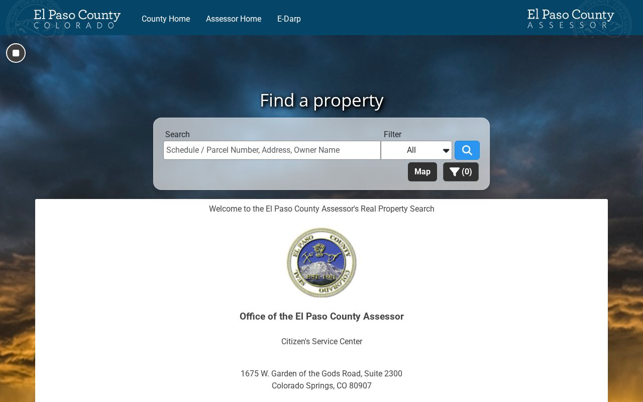
Use the parcel number and legal description as the bridge, then keep ownership and occupancy as separate questions.
Walk Fountain's Previous-Resident Deed Chain
The Recorder's process is a backward chain from a known instrument. El Paso County says it records and preserves deeds, deeds of trust, assignments and releases, liens, powers of attorney, plats, and related documents. It also says the office is not required to search real-estate records to locate an unidentified document. That rule shapes the method: use the Assessor and the first identified deed before requesting a copy.
- Normalize the modern address, parcel, subdivision, lot, block, and legal description.
- Search the current owner as grantee and find the purchase deed or other identified instrument.
- Read the grantor, grantee, reception number, date, document type, and legal description.
- Search the earlier grantor as a grantee in an earlier date range, confirming the same land.
- Repeat until the index, book, or film ends, then request or inspect an identified older record.
- Grantor
- The party transferring or conveying an interest in the recorded instrument.
- Grantee
- The party receiving the interest named in the instrument.
- Chain of title
- A sequence of recorded land instruments that links one transfer to earlier transfers.
- Legal description
- Lot, block, plat, survey, or other land language that can stay stable when an address changes.
Recorded liens, releases, deeds of trust, and powers of attorney can add names and dates without changing occupancy. A prior owner is not automatically a prior household member, and a party to a land instrument may never have lived at the address.
Note: A deed chain identifies recorded land transfers, while directories and census records supply separate clues about who occupied the address.
Fountain Past Residents and Plats
A plat can connect a street label to a lot, block, subdivision, easement, alley, or right of way. That connection is useful when a directory uses an older street name or a deed uses a legal description without a modern number. Compare the plat with the parcel polygon and the directory street guide. A corner parcel or split lot may have more than one street face.
Fountain's addressing history makes the plat more than a map extra. PPLD documents street-name changes and odd-even number changes during the 1870s through 1917. Search old and new names, nearby cross streets, and the exact lot or block. If the current Assessor address does not resemble a historical directory entry, do not discard the entry until the land description and footprint are tested.
The county GIS service can show parcel geometry, but recorded plats remain the stronger source for legal boundaries. A map layer may be updated or incomplete, while a recorded instrument supplies the formal description used in the land chain.
Fountain Previous Resident Recorder Trail
The Aumentum public page carries a disclaimer and a dynamic search surface. The exact online start year was not located in official text. The Recorder FAQ states that records before 1996 are available through the Citizens Service Center, but that is an office-copy instruction rather than proof that the online index begins in 1996. Older books or film may therefore be needed when tracing earlier occupants.
Copy requests identify the requestor, record or party, recording details, document or copy type, certification choice, plat option, payment, and return method. Published charges include $0.25 per page, $1 per certified document, $3 per plat page, and separate mailing or handling amounts. Requests may be sent to copyrequests@elpasoco.com, by mail, or in person. The department lists 719-520-6198 for copy requests and 719-520-6200 for the office.
The Recorder copy and fee guidance is the source for the current access route.
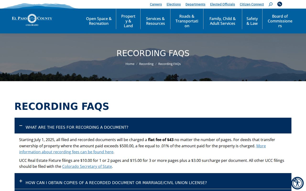
The fee image belongs beside an identified record request. It does not mean the office will perform a whole title search for a street or person.
The Recorder public-access source shows the index route that precedes a copy request for an identified instrument.
Use the index capture to preserve the grantor, grantee, reception number, date, and legal description before asking for a copy.
Fountain Previous Residents in Directories
Directories supply the household layer that deeds cannot. PPLD's digitized Polk run covers 1879 through 1929, while later physical and database holdings are mixed. Rural directory issues appear for 1937–38, 1947, 1949, 1951, 1955, 1962, 1969, and 1972. Telephone books cover most years from 1907 onward. Each volume may use a different city heading, street spelling, or inclusion area.
Read the address-to-occupant street guide, then confirm the alphabetical entry. Preserve the publisher, year, page, name, number, street, marker, and relationship notation. Pair a directory year with a nearby census year, a newspaper, a permit, or a later deed. The directory may show a household member who is not the owner, while the deed may show an owner who never appears in the household entry.
The collection details and the shelf access route are covered on the Fountain city directory page. That separation keeps this page focused on one address moving backward through time.
The PPLD history and genealogy source shows the library route for directories, maps, newspapers, and staff-assisted local research.
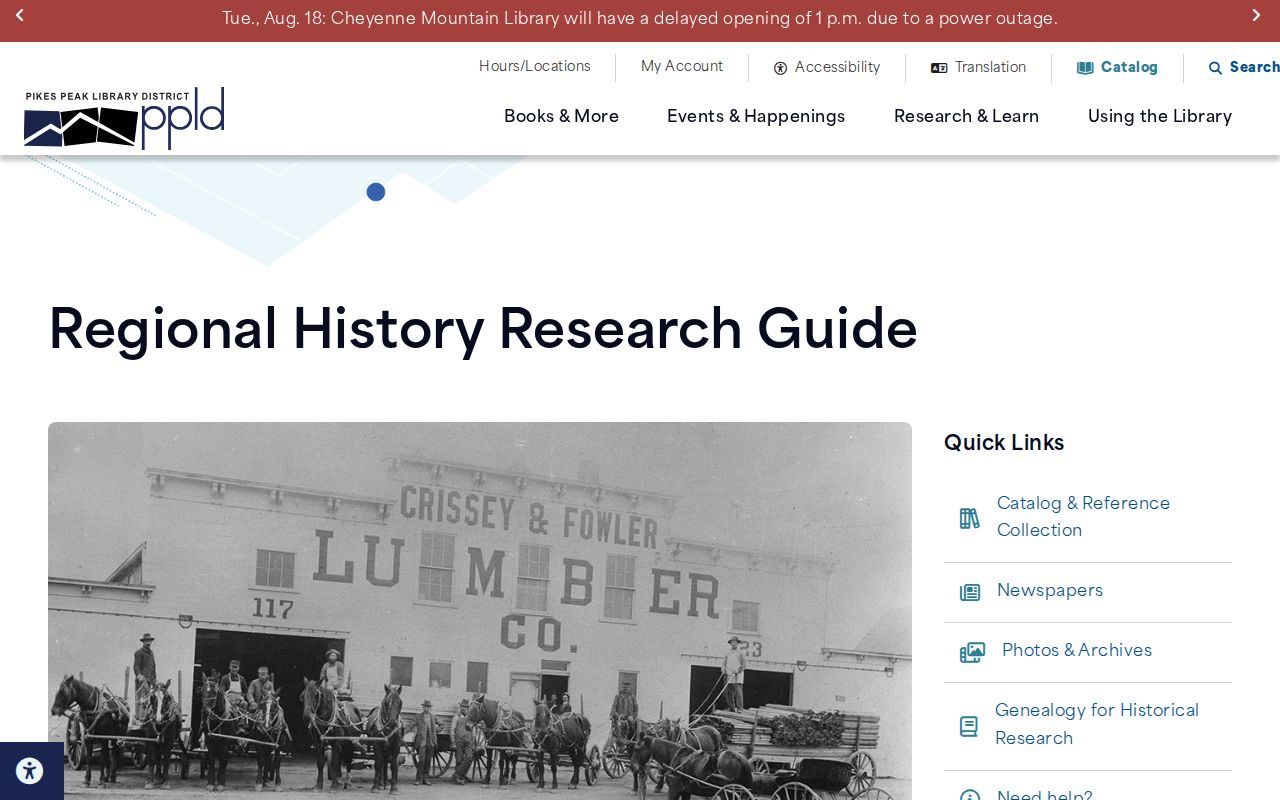
The library capture supports the household layer, but each directory clue still needs its own year, publisher, page, and geography.
Fountain Past Residents in Permits and Maps
PPLD's house-history guide combines sources that date a building even when the occupant trail is thin. It identifies March 1900 permit records, a gap from April 1902 through September 1907, county permits from 1954 through 1964, partial tapping records from 1902 through 1940, and Sanborn maps beginning around 1883 with later revisions around 1960. PPRBD supplies the modern address, parcel, permit, plan, archived-card, and floodplain search.
A permit can show construction, alteration, project description, date, status, valuation, parcel, and named project parties. Tapping records can date a utility connection on a street. Sanborn maps can show footprint, use, lot orientation, and street. None is a complete household register, and gaps should be labeled rather than filled with a likely name.
Open the PPLD home-history guide for the combined address-research method.
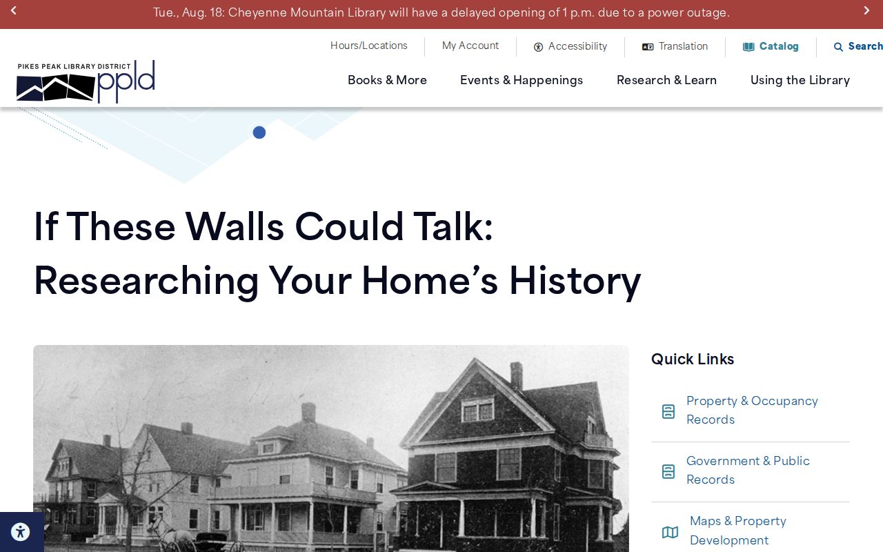
The guide shows how permits, directories, deeds, maps, newspapers, utilities, and probate can be paired without treating any one source as complete.
Local archives add another layer. The Starsmore Center for Local History holds manuscripts, photographs, maps, blueprints, organization records, and ephemera for the Pikes Peak region.
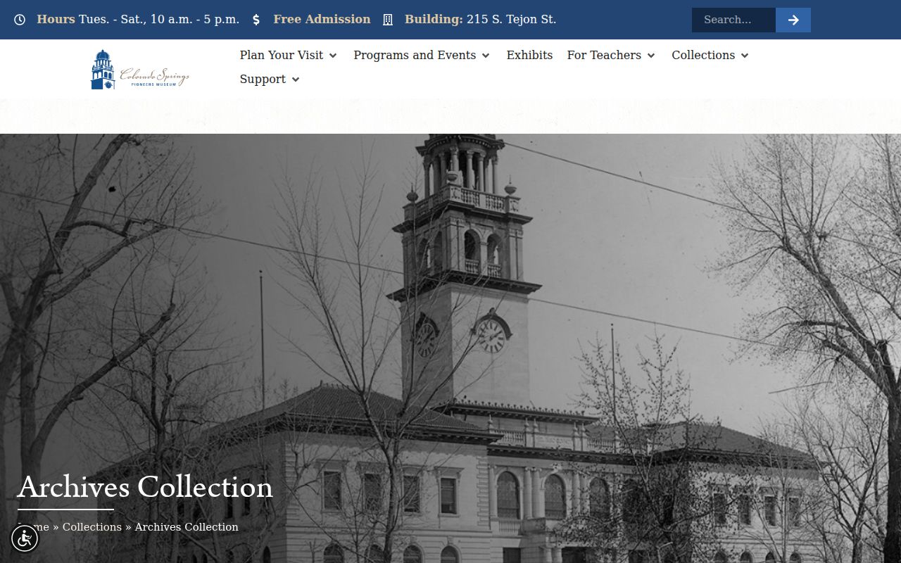
An archive can explain a street, organization, or building story even when it cannot certify who occupied a home.
Note: House-history sources can date a building without proving that every named project party or archive subject lived there.
Fountain Previous Residents and Street Changes
Address continuity is the local quirk most likely to break a search for past residents. PPLD notes that street names changed during the 1870s through 1917 and that odd and even numbers flipped. The same building can therefore appear under two names or an unexpected number. Search both forms and note cross streets, lot orientation, and the directory's city heading.
Early directories can center Colorado Springs, Colorado City, or Manitou Springs and leave a Fountain-area address in a regional or rural section. A blank result may reflect publisher geography, not an empty parcel. Compare the directory with Sanborn footprint, plat, legal description, county map, and newspaper wording before drawing a break in the household trail.
Note: Put the old address in quotation marks in research notes, then record the modern translation separately so the source's wording remains visible.
Fountain Past Residents at Record Endpoints
Past households often leave the address trail through an obituary, probate case, cemetery lot, or later deed. PPLD NewsFinder can locate an indexed article, but some entries are index-only and a scan may require staff help. A probate case can identify heirs, an executor, a will, letters, a petition, or an order through the Fourth Judicial District or State Archives. Fountain cemetery lot and interment records route through the City Clerk, because no public online interment database was located.
Death certificates are separate restricted vital records. A newspaper or cemetery entry can be a useful lead, but it is not a substitute for an eligible certified copy. Pair the endpoint with the address, date, legal land, directory entry, or deed that brought the person into the house history.
The State Archives finding aids include El Paso County probate groups from 1872–1938 and 1966–1987, along with court, coroner, naturalization, and divorce series. Historical access is staff-assisted and is not a complete online Fountain person index.
Fountain Previous Residents and Ownership
Past residents are easiest to misunderstand when a title party is treated as a household member. A grantor or grantee signed a recorded instrument. A mailing recipient received a tax notice. A directory householder was listed by a publisher. A permit party was linked to a project. A voter was in a defined registration file. A probate heir had a legal or family relationship. Those facts can overlap, but one does not prove the others.
Use two anchors before labeling a past household: an exact directory address and date, a deed legal description and transfer date, a census household and place, or an obituary and parcel clue. Keep the source's verb in the note: “listed,” “recorded,” “filed,” “indexed,” or “mapped.” This plain habit prevents a house history from becoming a claim about a living person.
Fountain Previous Residents Across Sources
Finish a house history by pairing sources rather than by forcing them into one continuous list. Start with the current parcel. Walk the Recorder chain backward. Place directory years around the deed dates. Check a nearby census, Sanborn map, permit, tapping record, newspaper, probate file, or cemetery entry. If one source stops, state the gap and move to the next custodian.
Current parcel → identified deed → earlier grantor → directory year → nearby census → map or permit clue → obituary, probate, or cemetery endpoint
Fountain's 1859 founding, 1903 incorporation, 1888 Big Blast, Jimmy Camp Creek and Fountain Creek history, and the preserved 1903 El Paso courthouse offer useful local search anchors. A newspaper or archive query built around a place or event can find a household clue that a surname search misses. The earlier occupants of a house may first appear as a street-guide entry, permit contact, obituary relative, plat party, or naturalization petitioner.
Lawful use. Previous-resident research is for family history, house history, reconnection, and defined personal curiosity. Do not use an address trail to stalk, harass, intimidate, or harm a living person.
When the current address needs a full street-by-street chain, the Fountain street directory page takes over. The historical collection itself remains on the city directory page, while this workflow owns the backward trail of one place.